Digital Model
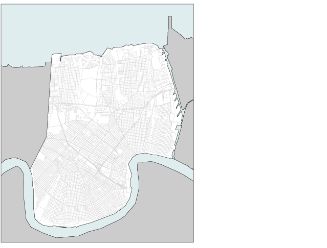
Gutter to Gulf has developed a digital model of New Orleans from primary source data to reveal relationships among the city’s physical, political, and administrative systems. The city’s range of policy subdivisions is extremely wide; its physical systems are diverse; and to date, there has been no simple way to understand the coordination—or lack of coordination—among these conditions. The goal of this digital model is to make an interactive tool that displays the range of permutations among New Orleans’s city systems. Its power as a planning tool is its clarity and accessibility.
New Orleans has multiple policy subdivisions: municipal districts, which are used in property tax assessment; council districts, which organize representation in city government; planning districts, which organize planning and zoning decisions; neighborhoods, which subdivide planning districts and which do not cross census boundaries; wards, which organize voter registration; and precincts, which subdivide wards and fluctuate with population changes. In addition, the city is subdivided by its physical characteristics: it includes nine drainage sub-basins whose relationships to subsidence, water table, parks, topography, canals, and rail infrastructure are not necessarily coordinated.